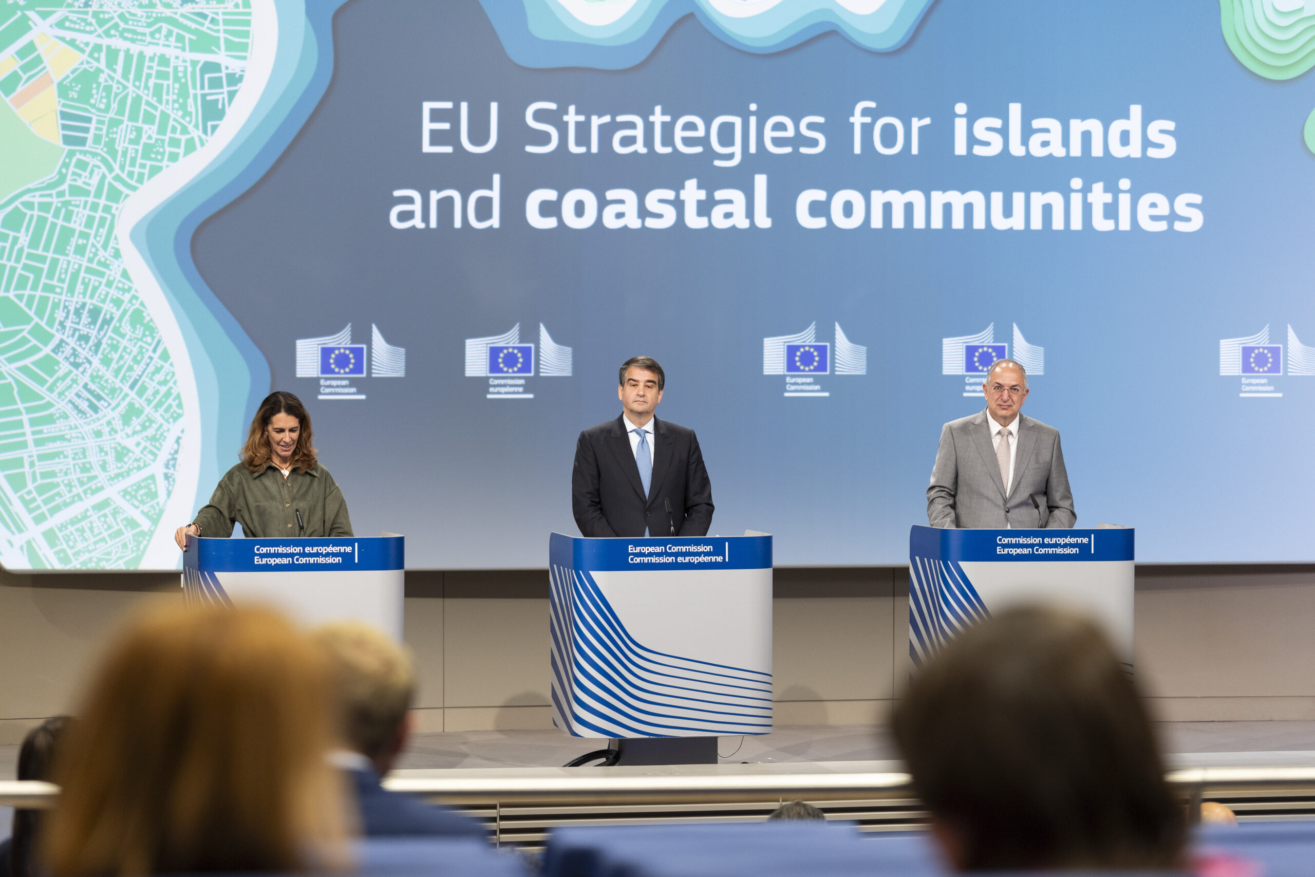
Content Library

News

Curated stories and analysis from islands and sustainability leaders worldwide.

Showing 9 of 2022 news items
Sewage Is Threatening Coral Reefs Around the World, Even in Marine Protected Areas
Ocean & BiodiversityApril 30, 2026

Sewage Is Threatening Coral Reefs Around the World, Even in Marine Protected Areas

Photo Credit and Excerpt from insideclimatenews.org Marine protected areas are designed to conserve coral reefs and other ocean ecosystems by restricting human activity within their boundaries. But most don’t account for one of the most severe and widespread threats to marine life that originates on land: sewage. A new study by the Wildlife Conservation Society (WCS) and the University of Queensland in Australia found that more than 70 percent of marine protected areas worldwide are contaminated by untreated, or poorly treated, wastewater. In places with extensive coral reefs, like the Coral Triangle—a 2 million square mile marine area spanning six countries in Southeast Asia, including Indonesia, Malaysia, the Philippines and Papua New Guinea—contamination is even more widespread. According to the study, published this month in the journal Ocean & Coastal Management, more than 90 percent of coastal protected areas in the Coral Triangle are affected by high levels of sewage pollution—up to 10 times highter than in nearby unprotected waters.

Read more
New research uses fibre optic cables to predict glacier loss in Greenland
Climate ActionApril 30, 2026

New research uses fibre optic cables to predict glacier loss in Greenland

Excerpt from dailyuw.com Gradual loss of the Greenland Ice Sheet (GrIS) holds global significance: it exacerbates sea level rise, alters ocean circulation, and threatens Arctic ecosystems. But melt is difficult to quantify. It’s a nonlinear process driven by myriad feedback loops, or reinforced outcomes, and the majority occurs below the ocean’s surface. In the past, GrIS loss monitoring has been limited to computer simulations and Sound Navigation and Ranging (SONAR), which uses sound waves to measure glacier thickness. A 2019 study directed multibeam SONAR at glacier fronts, combined with several other technologies, to simulate a projected loss rate. This projection underestimated ice loss by two orders of magnitude. As glacier loss occurs, the glacier itself is exposed to overall lower elevations, which contain warmer air. This exacerbates melt and creates a positive feedback loop. Still, above surface observations are only 10% of the story. Approximately 90% of GrIS is below the surface, and submarine feedbacks are largely unknown.

Read more
Report links human exploitation to climate change
Climate ActionApril 30, 2026

Report links human exploitation to climate change

Excerpt from antiguaobserver.com A new report on the intersection of climate change and human exploitation in Antigua and Barbuda was launched yesterday, revealing how climate-related disasters are creating dangerous vulnerabilities for local communities. The research, conducted by the Commonwealth Human Rights Initiative and Free the Slaves, warns that the loss of livelihoods due to climate impacts is pushing vulnerable populations toward exploitation. Former senator Bakesha Francis James, speaking at the launch, explained the critical connection between environmental crises and human rights violations. “Climate change is often discussed in terms of rising temperatures, extreme weather events and environmental degradation but what is sometimes less visible, yet no less urgent, are human consequences,” Francis James said. “Climate shocks and slow onset environmental changes can deepen existing inequalities, strain livelihoods and increase vulnerability to exploitation including human trafficking and forced labor. These risks are not abstract; they affect real people, real families, and real communities.”

Read more
Plans to move residents off Cocos (Keeling) Islands walked back after backlash
Culture & CommunityApril 30, 2026

Plans to move residents off Cocos (Keeling) Islands walked back after backlash

Photo Credit and Excerpt from abc.net.au The federal government has walked back its plans to relocate Cocos (Keeling) Island residents after widespread community backlash, promising greater local input. The crescent-shaped coral atoll, located in the Indian Ocean some 2,500 kilometres off the mainland, is Australia's most remote territory. About 600 people live on Home and West islands, two of the 27 slashes of white sand and tropical greenery that make up Cocos. But climate change is threatening the viability of their homes, with an annual sea level rise of 4 millimetres since 1992.

Read more
Jeju Becomes Test Bed for Autonomous Delivery Network
Connectivity & DigitizationApril 30, 2026

Jeju Becomes Test Bed for Autonomous Delivery Network

Photo courtesy of Korea Aerospace Administration via KoreaBizWire.com Excerpt from koreabizwire.com South Korea has begun testing a next-generation delivery system in which drones and ground robots work in tandem to transport goods directly to customers’ doors, the government said Friday. The pilot, led by the Korea AeroSpace Administration in collaboration with the Electronics and Telecommunications Research Institute, aims to build a fully automated logistics chain capable of handling payloads of up to 40 kilograms. Under the system, drones depart from a logistics hub carrying cargo, fly autonomously to a destination area and land near the delivery point. A ground robot then completes the “last mile,” transporting the package directly to the customer’s doorstep.

Read more
The unusual ways Fijians predict when a cyclone is approaching
Climate ActionApril 30, 2026

The unusual ways Fijians predict when a cyclone is approaching

Photo credit: Frankie Adkins via BBC.com Excerpt from bbc.com It's July, a month when Fijian farmers begin watching wild yams closely. "If they see wild yam vines creeping along the ground, there's going to be a hurricane in between November and April – the hurricane season," says farmer Marika Radua. If the vines shoot upwards, it's unlikely a hurricane will hit, he says. In the dense jungle on Vanua Levu, Fiji's second largest island, Radua's farm is a riot of green. Every plant has its place – from rows of delicate lettuce, to sturdy taro and cassava. For years, Radua has read the signs in nature to know when, and where, to plant his crops to ensure they thrive each season. Yam vines are natural indicators of extreme weather, according to Fijian traditional ecological knowledge. This environmental knowledge comprises ancient traditions held and practiced by indigenous peoples. When the vines hug the ground, "they are already trying to protect themselves from the wind. It's nature," Radua says. Many Fijians – especially those from older generations who are more likely to use traditional farming methods – believe other organisms act as natural weather forecasts, such as bananas, bees and breadfruit.

Read more
I gave up modern comfort to help preserve the Blasket Islands: 'The island is always with me'
Culture & CommunityApril 30, 2026

I gave up modern comfort to help preserve the Blasket Islands: 'The island is always with me'

Photo Credit and Excerpt from irishexaminer.com I am standing in Dunquin, in Co Kerry, at first light, with Lesley Bond, looking out from a cliff top at the curved spine and sleeping face of the Blasket Islands before the light wakes them, and it feels, wistfully, as if I could just reach out my hand and touch them. We had been planning a trip to the Great Island for the past month. Everything was in place. The storms that had been battering the coastline with a force that felt indifferent to our intentions had finally abated.

Read more
How an Atlantic island narrowly escaped 'stealthy' eruption
Climate ActionApril 30, 2026

How an Atlantic island narrowly escaped 'stealthy' eruption

Photo Credit and Excerpt from phys.org Thousands of earthquakes affecting Portugal's São Jorge Island in the Azores in March 2022 were triggered by a vast sheet of magma (molten rock) rising from more than 20km below Earth's surface and stalling just 1.6km beneath the island, according to a new study led by UCL (University College London) researchers. Much of this ascent occurred with little seismic activity, with most earthquakes occurring after the magma stopped ascending. The magma rose over just a few days—there was enough of it to fill 32,000 Olympic-sized swimming pools, the study suggested.

Read more
Why the Isle of Eigg hatched a plan to grow its own trees
Climate ActionApril 21, 2026

Why the Isle of Eigg hatched a plan to grow its own trees

Excerpt and Photo Credit from bbc.com A tiny Hebridean island is growing tens of thousands of trees to create a sustainable supply of wood for fuel and to support natural habitats. Eigg has no mains power and its population of about 80 people rely on small renewable electricity schemes and stoves to light and warm their homes. Over about the last five years, islanders have planted more than 50,000 trees grown from seeds collected from the island's woods and a forestry plantation. The saplings, which are said to be well adapted to the island's windy weather, have also been sent off to other islands including Uist and Barra.

Read more